
University City Neighbor Sources
Public sources answer different block questions. County land records can identify a parcel and its assessed owner. A voter check can confirm a named registration when the entry is available. The city directory can identify an organization or public contact nearby. None of those sources is a household roll. For University City neighbors, begin with the record that describes land, then treat any name as a dated record role, not an automatic statement that the person lives at that address.
| Source | What It Shows About a Block | Access |
|---|---|---|
| St. Louis County GIS parcel layer | Touching parcel polygons, locator identifiers, street frontage, and county land-use/value context | Free ArcGIS map service; viewer tools and layers need live confirmation |
| St. Louis County Real Estate Search | Assessed owner, situs and mailing addresses, locator, values, exemptions, and building context for one parcel | Free portal with locator, name, property-address, and subdivision modes |
| Recorder deeds and plats | Legal boundaries, lot/block detail, transfer trail, easements, and replats | Official search page plus counter or copy-request route; online cutoff was not located |
| Missouri voter lookup or precinct register | Named registration confirmation, or potentially a street-ordered precinct register | Limited lookup; inspectable register depends on county process and protected-record limits |
| City community directory | Organization, congregation, school, civic, senior, and utility contacts | Free category, name, and A-Z search; not a member or household directory |
A parcel result may show an individual, a trust, an estate, or an entity. Its mailing address may be outside University City. An occupant who does not own the parcel will not appear merely because the property is mapped. That distinction keeps a block search tied to what the record actually establishes.
University City Parcel Boundaries
The county’s GIS item is the local geometry tool. Its parcel boundary can identify the lots sharing a side, rear edge, alley relationship, or frontage with the target lot. The item also supplies a parcel identifier when that attribute is present, along with county Revenue/GIS ownership, land-use, and value context. A shared driveway, rear lot, railroad edge, or municipal boundary deserves a second check against the legal description before it is called a neighboring parcel.
See the St. Louis County ArcGIS parcel layer before beginning a University City block search.
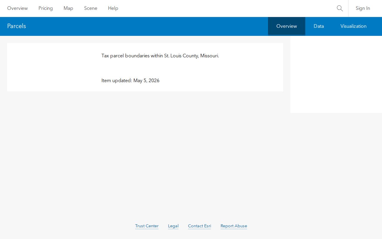
The map is most useful as a bridge from a visible polygon to the county locator. The metadata carries a no-warranty notice and a May 5, 2026 update note, so preserve the search date with any notes you make.
Exact advanced GIS controls were not captured. Do not assume the live viewer has a buffer, measure, select, export, or address-search tool until it is visible in the current map.
Map University City Parcels
Use a short, repeatable parcel trail rather than copying map labels into a list of people. The assessor record is the confirmation step because it separates the situs address from the address used for tax mail. If the aim changes from an immediate block to a whole named road, the University City Streets directory follows the longer address-by-address chain.
- Locate the target University City address in the county GIS map and zoom until the parcel polygons are distinct.
- Click the target polygon, copy its locator or parcel ID, and note the situs address and visible lot or subdivision detail.
- Click each touching polygon. Record frontage, an alley or rear-lot relationship, and any parcel identifier without treating the pop-up as a household list.
- Run each locator or address through St. Louis County Real Estate Search. Label the assessed owner, situs, mailing address, legal description, and record date separately.
- When an edge or lot history matters, use the legal description with the Recorder’s deed or plat route instead of relying on the street number alone.
This process can identify adjacent land records even where a number is hard to read. It does not prove that owners occupy their parcels, and it does not identify non-owner residents.
University City Owner Labels
University City parcel notes are clearer when each item has a role. The county Real Estate Search offers locator-number, name, property-address, and subdivision-name modes. Choose the property-address mode for a known house number rather than forcing an address into the structured locator field. The locator has a particular format, including a letter in its third character, so a guessed locator can send the search in the wrong direction.
- Parcel or locator
- The county key that links the GIS polygon, assessment result, and Recorder work.
- Situs address
- The physical University City location of the parcel.
- Mailing address
- Where tax correspondence goes. It can be an office, a care-of address, or a distant address.
- Assessed owner
- The individual or entity shown in the tax record, not necessarily an occupant.
- Legal description
- The lot, block, subdivision, or boundary wording used to verify the same land across records.
A homestead or exemption indicator can be consistent with owner occupancy, but it is assessment treatment rather than sworn proof of current residence. Keep it as a qualified clue.
Note: A parcel owner, a mailing contact, and a person living at the situs are separate record roles that should never be merged without support.
University City Precinct Records
Missouri’s official voter lookup is for confirming a named person’s registration, not for producing a University City block roster from an address. Official instructions call for first and last name, house number, street name without the street type, birth date, and the county where the voter is registered. For University City, select St. Louis County. A no-match can reflect spelling, a recent move, an update interval, or a protected record.
RSMo §115.163 says a precinct register may be arranged alphabetically or by street address and can be open for public inspection at reasonable times, subject to protected records. Ask the St. Louis County Board of Elections whether the current register can be inspected, whether it is street ordered, and what process or fee applies. The county procedure, fee, appointment method, and present arrangement were not located in the research, so they should not be assumed.
RSMo §115.157 limits the electronic public record and does not make ballot choices public. Election-specific extracts have noncommercial limits, and protected addresses are excluded. A voter result is one form of named confirmation, not a neighbor map.
University City Neighbor Tools Compared
Compiled address tools can be quick to read, but they often blend records with different dates and roles. The county chain is slower because every parcel must be checked, yet it lets a reader see whether a label came from a map, assessment record, deed, or voter confirmation. That source trail matters when an owner is an entity or the mailing address is not the University City property.
| Approach | Useful For | Limit to Keep in Mind |
|---|---|---|
| GIS plus assessor and Recorder records | Tracing adjacent parcels, ownership roles, legal descriptions, and documented transfers | Requires each parcel to be checked; it does not identify every resident |
| Unnamed commercial address compilations | Possible leads that may combine address history, directories, marketing data, and filings | Dates, sources, entity matches, and protected-address treatment can be unclear or stale |
| Voter lookup and precinct records | Narrow named civic confirmation or a possible street-ordered inspection route | No documented block-wide web result; protected records and noncommercial limits apply |
For a shared edge, driveway, or alley question, a recorded plat or deed is more persuasive than a compiled address listing. The official Recorder search page exists, but its online coverage start was not located; use the counter or copy-request route when the index does not answer the question.
University City Community Contacts
Neighborhood associations and civic groups are a public contact layer, not a substitute for parcel records. Parkview Gardens Association is a nonprofit founded by residents and property owners in 1980. Its neighborhood dates to the 1920s and spans mostly eastern University City, with a small St. Louis City portion, roughly from Delmar to Olive and Skinker to Kingsland. That city-line detail is a useful reminder that a neighborhood boundary and a municipal boundary can differ.
| Public contact | What is available | What is not established |
|---|---|---|
| Parkview Gardens Association Agents@ParkviewNeighborhood.org | Voluntary name, address, and phone submission for blast emails, plus public information about events and neighborhood connections | A public member directory or household roster |
| University City Community Association / UCCA UniversityCityNews@gmail.com | Published meeting minutes and financial records by request | A public member roll |
| University City community directory | Public organization contacts by category, name, or A-Z listing | Private attendance, membership, or household information |
Use the University City community directory to locate public organizations and contacts in the city.
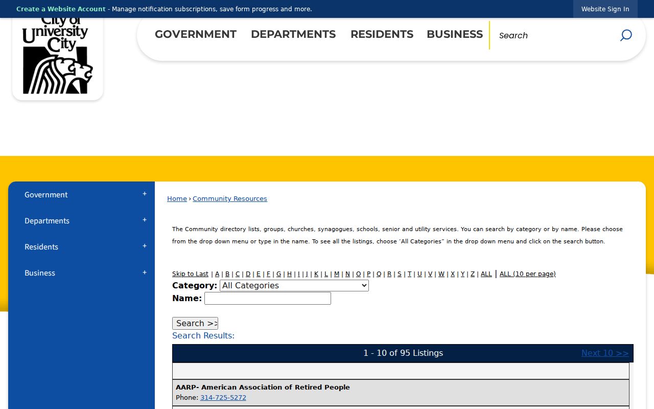
The directory’s category, name, and A-Z controls are useful for civic connection. They do not turn a congregation, school, association, utility, or senior service into a list of the people they serve.
University City Neighbor Privacy
A block has clear privacy boundaries. Non-owner occupants, children, guests, private congregation attendance, utility customer names and usage, delivery data, and protected DMV information are not a parcel-map result. Missouri Safe at Home uses a substitute address for eligible participants, and the actual address is protected under RSMo §§589.660–589.681. A missing address can reflect a safety safeguard rather than a move or an incomplete search.
Voter address protections under RSMo §115.157, sealed or expunged court material, juvenile and protected-party records, and restricted vital records also remain outside a block lookup. Correction requests belong with the custodian that created the record: County Revenue/GIS for a parcel attribute, the Recorder for an indexing issue, the Election Board for registration, or the relevant court or city office for its own record.
Lawful use. University City block research can support local history, civic curiosity, or voluntary reconnection. Do not use public information to monitor, stalk, harass, intimidate, or harm anyone; Missouri law addresses stalking and harassment, and protected addresses must not be pursued or republished.
Note: The map describes land records around an address, while a private household remains private unless a specific public record lawfully establishes a limited fact.